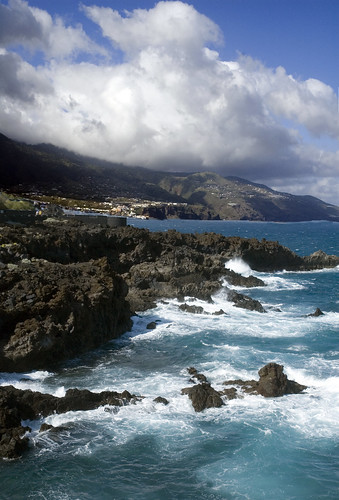
 Tazacorte is on the west (and warmer) coast of La Palma. It was only about a 45 minute drive from the east coast area where we were staying, but very different from Los Cancajos and the terrain of the east coast. It is partially blocked from the trade winds by a mountain range, so is warmer and sunnier. This area (the puerto) in Tazacorte is the main port area and was the original area where Spanish explorers landed. The deeper port is now replaced by a much shallower beach/swim area and is the main tourism area for the western coast. There were lots of options for lodging, although more condos and guest houses than big hotels. Here's a webcam from the Atlantis, one of the hotels. Outside of this area, was a charming city (the pueblo), and the rest of the land (85%) was cultivated with banana growing. It was really amazing how every available piece of land had banana trees. More shots from the Atlantis site, show the terrain and banana trees. Some of them were in structures with plastic and frames that formed a temporary greenhouse. If you look at satellite shots on Google Earth of La Palma, you will see large areas of land that appear white. These are the banana plots.
Both of these shots are HDR with the saturation turned up slightly to really bring out the colors on the beach and of the buildings.


